|
Details: |
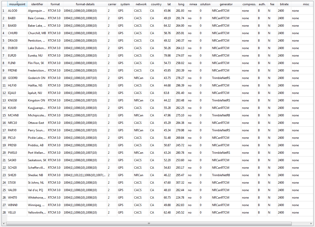
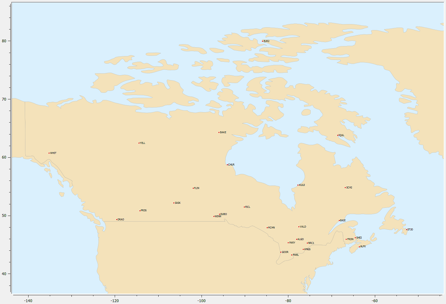
The Geodetic Survey Division of Geomatics Canada, in
partnership with Geological Survey of Canada, is presently operating
the Canadian Active Control System (CACS) to provide improved GPS
positioning capability for the Canadian surveying and geophysical
community as well as for other spatial referencing needs. The system
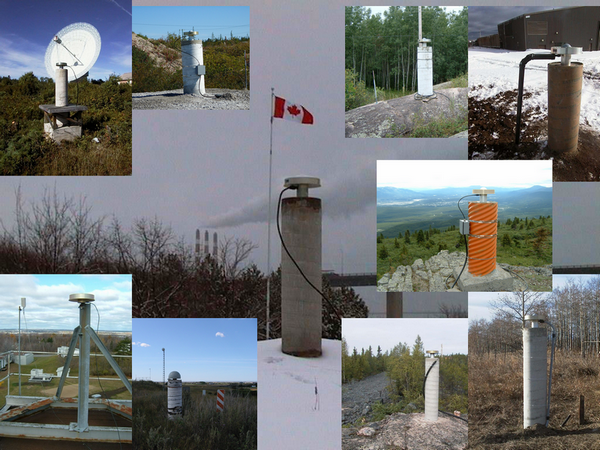
consists of unattended tracking stations, referred to as Active
Control Points (ACPs), which continuously record carrier phase and
pseudo-range measurements for all satellites of the Global Positioning
System (GPS) within station view. Each ACP is equipped with a high
precision dual frequency GPS receiver and an atomic frequency
standard.
CACS streams raw GPS observations to their clients at
a 1 Hz data rate in real-time. The GNT’s mmVu® deformation monitoring
software is able to connect the CACS stations and process the streamed
raw data in real-time. Recent tests, combining CACS data and broadcast
ephemerides fed by one of GNT's GPS station, has shown static
positioning precision at the mm level in each of the three-dimensional
components for distances up to 400 km. |